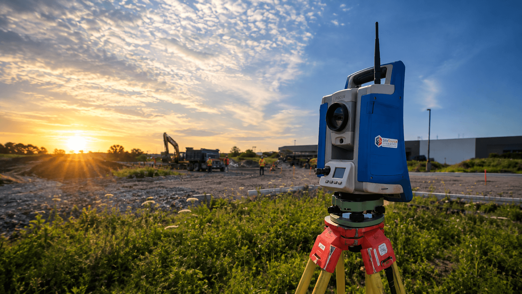
Measuring what matters.
Delivering what's next.
Construction Survey & Reality Capture across Ontario — layout, scanning, and deliverables built for the field.
Who we are
SiteSource Geomatics is a Construction Survey & Reality Capture firm supporting complex infrastructure, engineering, industrial, and design-build projects across Ontario.
We're a lean, experienced team built to move quickly. No unnecessary layers, no bloated project teams — just direct access to experienced people who understand the work you're doing, and will respond with practical solutions.
Serving across Ontario, we bring together industry-proven GNSS and total station surveying with UAV mapping and 3D laser scanning to tackle everything from everyday construction support to complex, precision as-builts.
Our approach results in better data, faster turnaround, and practical deliverables and support.
What we deliver
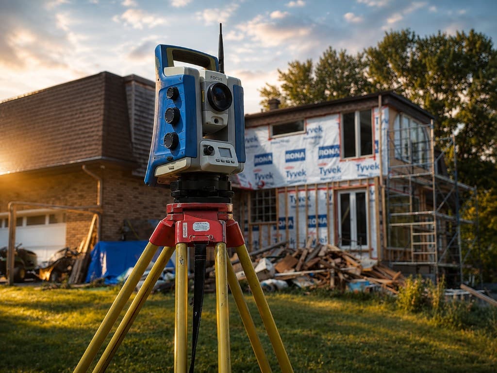
Sectors
- Municipal Infrastructure
- Heavy Civil Construction
- Industrial & Energy
- Commercial Construction

Services
- Construction Survey Layouts
- QA / QC & Quantity Surveys
- Topographic Site As-builts
- Facility and Architecture Scan-to-BIM
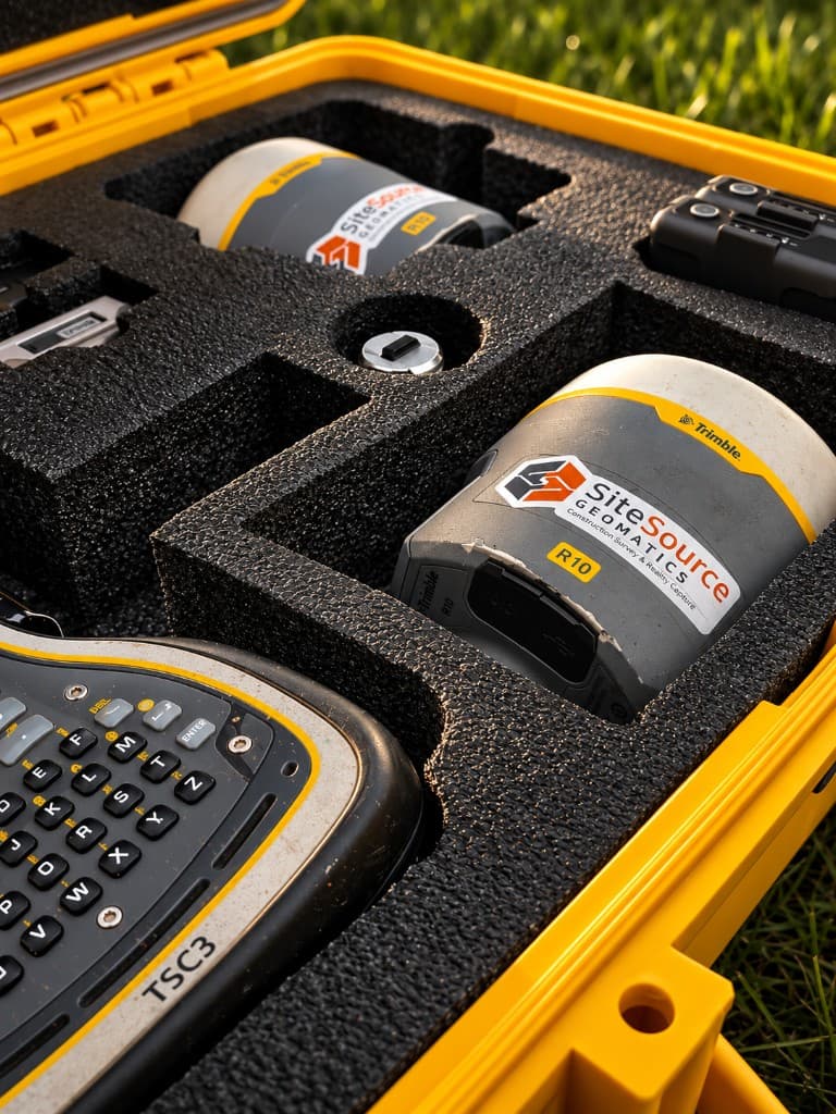
Technology
- GPS and Total Station
- UAV Imaging and LiDAR
- 3D Laser Scanning
- 3D Modeling and Analysis
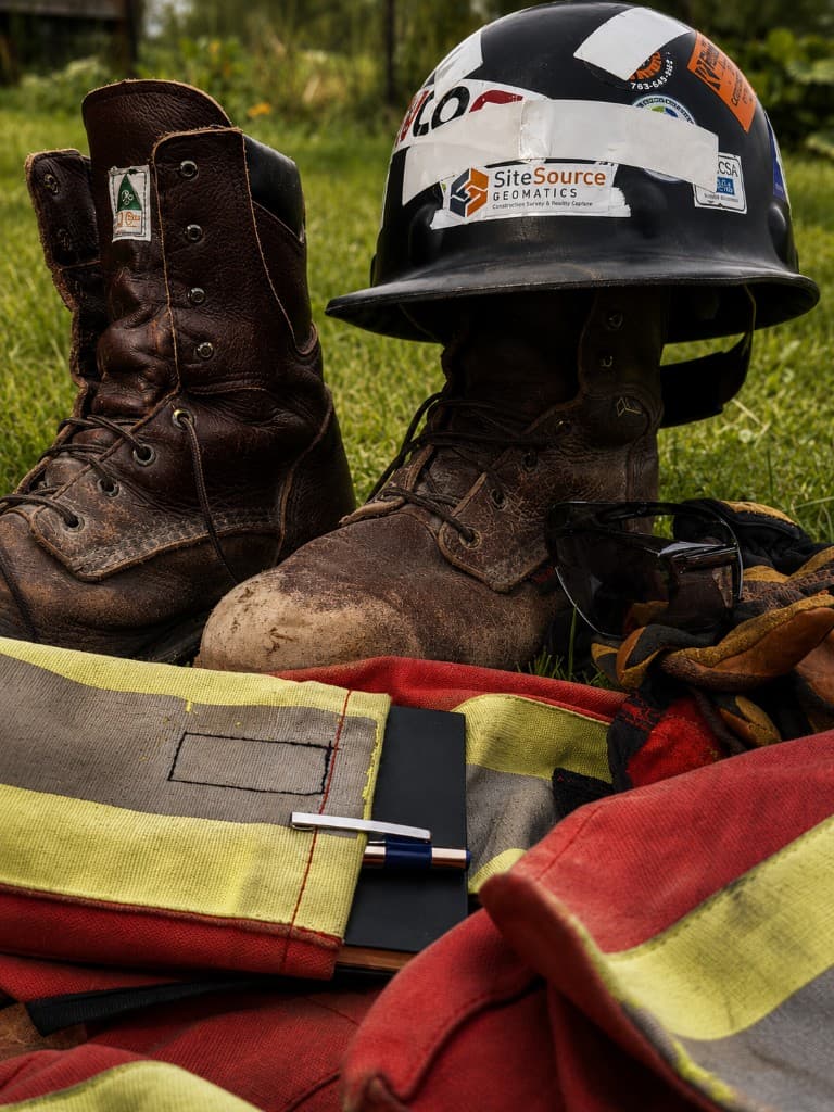
Why Hire SiteSource?
- Site-first and safety mindset
- Fast turnarounds and deliverables
- Works cleanly with contractors and engineers
- Ontario-based & regionally experienced
- Leverages the best equipment
Who Are We Built For?
- Project Managers and Coordinators
- Facility / Building Ops Managers
- Construction Estimators and Crews
- Owners & Developers
- Engineers, Architects & Designers
Ready to measure what matters?
Construction survey layout and reality capture across Ontario. Tell us about your site and we'll respond with next steps.